
Hide
Pembroke Place, Liverpool, Baptist
hide
Hide
Hide
Baptist church,
Pembroke Place,
Liverpool
Pembroke Place,
Liverpool
Hide
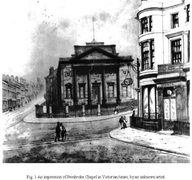
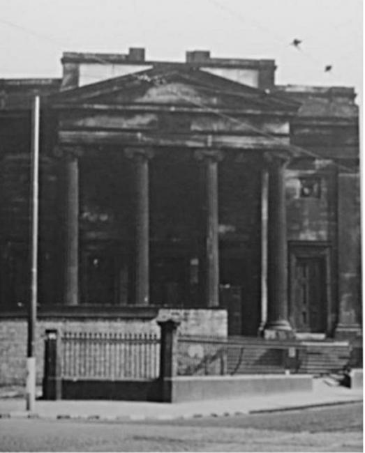
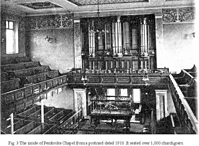
It was founded in 1839. It was demolished in 1931 due to declining congregations. A little information about the chapel can be found in pages 6-7 of the history of the Pembroke Athletic Club.
It was located at SJ3594490599 (Lat/Lon 53.4083, -2.965052). You can see this on maps provided by:
- OpenStreetMap
- Google Maps
- StreetMap (Current Ordnance Survey maps)
- Bing (was Multimap)
- Old Maps Online
- National Library of Scotland (Old Ordnance Survey maps)
- Vision of Britain (Click "Historical units & statistics" for administrative areas.)
- English Jurisdictions in 1851 (Unfortunately the LDS have removed the facility to enable us to specify a starting location, you will need to search yourself on their map.)
- Magic (Geographic information) (Click + on map if it doesn't show)
- GeoHack (Links to on-line maps and location specific services.)